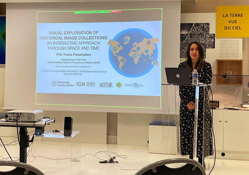
PhD defense of Evelyn Paiz: DONE!
On the 8/12/2021, Evelyn Paiz defended her PhD thesis on " Visual Exploration of Historical Image Collections: An Interactive Approach Through Space and Time". Congratulations Evelyn !!!
Jury
- Livio DE LUCA, Directeur de Recherche, CNRS, UMR MAP
- Didier JOSSELIN, Directeur de Recherche, CNRS, UMR ESPACE
- Paule-Annick DAVOINE, Professeur, Univ. Grenoble Alpes, UMR PACTE
- Gilles GESQUIÈRE, Professeur, Univ. Lumière Lyon 2, LIRIS
- Sidonie CHRISTOPHE, Directrice de Recherche (PhD director), LASTIG, Univ. Gustave Eiffel, IGN-ENSG
- Mathieu BRÉDIF, Ingénieur en Chef des Mines (PhD co-director), LASTIG, Univ. Gustave Eiffel, IGN-ENSG
Summary
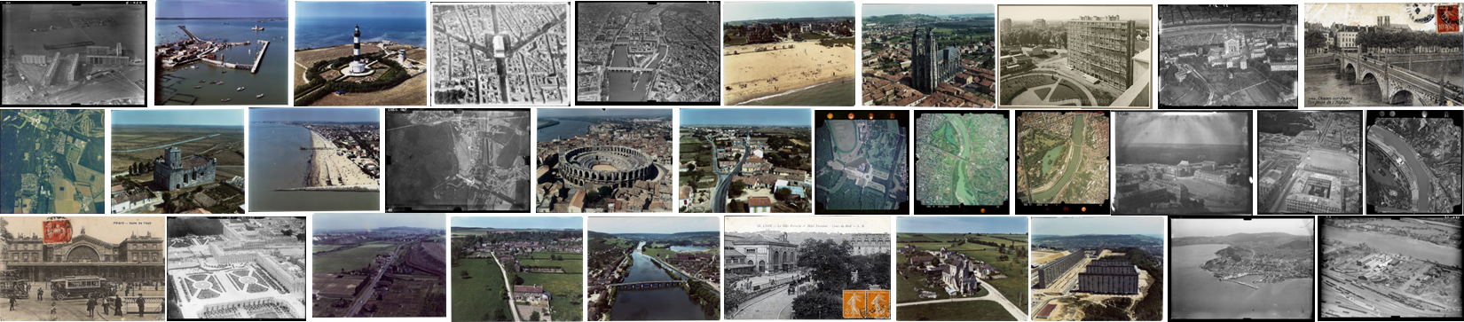
Iconographic representations, such as historical photos of geographic spaces, are valuable Cultural Heritage resources enabling the description of a particular topographical area’s evolution over time. With the advent of the digital era, many of these documents have been digitized, spatialized, and are now available online. However, it remains difficult for users to browse and visualize these images in space and time. The ANR ALEGORIA project tackles this challenge and is oriented towards photographic collections depicting the French territory from the interwar period to the present day, composed of aerial and terrestrial photographs provided by the consortium (National Archives, Nicéphore Niépce Museum, French National Mapping Agency).
This dissertation presents our proposition for a visual exploration of historical image collections using an interactive approach through space and time. We propose to co-visualize historical photographs inside contemporary 3D topographic models, and our two main contributions are: (i) the extrapolation of the photograph’s geometric distortion model to enable users to view the 3D digital world through the photo’s capturing device using an Image-Based Rendering methodology; (ii) the proposition of a set of geographic visualization techniques based on the user’s visual perception to provide a 3D interactive exploration in space and time. To integrate these two contributions and provide user capacities, we implemented the HISTOVIS prototype. It is a web-based system providing an interactive visual exploration for extensive collections of historical images from the ALEGORIA project. It combines multiple visualization and interaction techniques, e.g., heat maps, image thumbnails, viewpoint markers, etc. Three use case scenarios (visualization of photo collections, street-view exploration through time, and browsing non-spatialized photographs in a 3D spatial environment) were tested in a user study and within the project to define and evaluate our prototype usability.
Keywords — geographic visualization, geometric distortion, Image-Based Rendering, visual perception, user interaction.