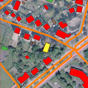
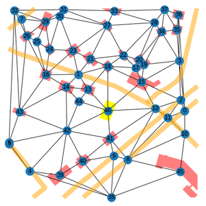
Geographical entities with neighborhood relationships
BD ORTHO®, BD TOPO® and associated graph (2019).
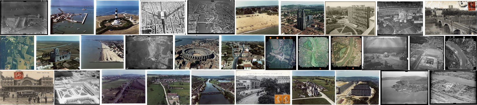
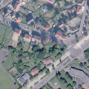
These datasets are excerpts of the reference vector database produced by the French Mapping Agency (IGN), namely the BDTOPO®. Associated with them are graphs representing the geographical entities present on a 200 m x 200 m area, defined around a given point of interest, as well as their neighborhood relationships. Each dataset represents a French administrative unit (Moselle, Bas-Rhin, Meurthe-et-Moselle, Côtes-d'Armor), at a given period (2004, 2010, 2014, 2019).
Details and use rights
For more details on these data and their conditions of use, please consult the following documents:
-
for the vector data: ReadMe_BDTOPO.txt (EN) / LisezMoi_BDTOPO.txt (FR)
-
for the graphs : ReadMe_Graphes.txt (EN) / LisezMoi_Graphes.txt (FR)
Download (data and code)
- Images (FTP Id: benchmarkAlegoria / Passwd: EePeeghehoZ7aeDa)
- Graphs (FTP Id: benchmarkAlegoria / Passwd: EePeeghehoZ7aeDa)
- Code
Reference article
M. Khokhlova, N. Abadie, V. Gouet-Brunet and L. Chen, Learning embeddings for cross-time geographic areas represented as graphs, In the 36th ACM/SIGAPP Symposium On Applied Computing (SAC 2021) - Technical Track Geographic Information Analysis, 22-26 March 2021, Gwangju, South Korea.
Date of publication: 21/12/2020